DTCPRO
- DTCPRO

- Product Info
DTCPRO is an application that increases the capacity of your CAD software specifically for digital terrain modeling and surveying tasks, with topographic calculation and drawing tools will helps you to get great results in the shortest time.
DTCPRO is a program for topographic design, digital modeling of terrain (contour, triangulation by Delaunay), basic design of roads and channels, earthworks (cuts and fills platforms), volume calculation, etc.
Everything in an easy to use application that will give you immediate and accurate results.
The DTCPRO is suitable for GstarCAD8.
The DTCPRO is suitable for GstarCAD8.
DTCPRO Features
- Key features
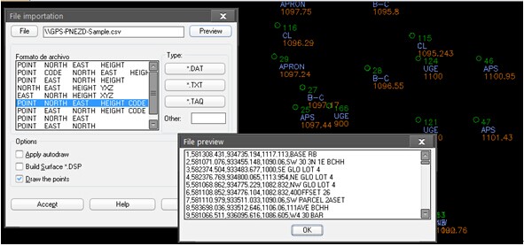
• Coordinates files importing
• Digital terrain modeling (TIN & Contouring)
• Cross-Sections
• Longitudinal profiles
• Linear works (Basic road design: axis, cross sections, grading, templates)
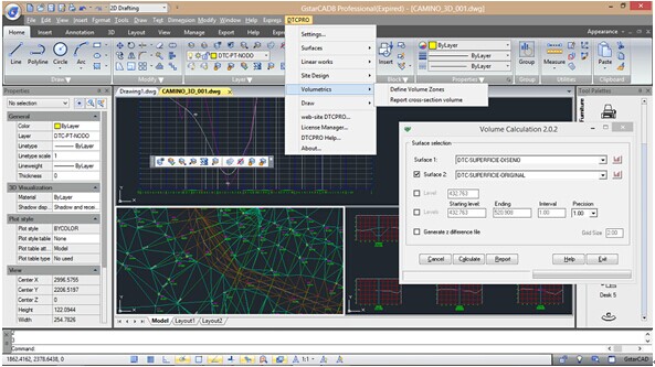
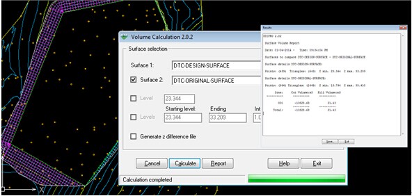
• Volumetric calculation
- Optimized memory usage
DTCPRO can manage a large set of points
While DTCPRO is processing 3D data you can work on other tasks because DTCPRO use a separate space for memory calculations. - Terrain modeling and surface concept
Cut & fill platforms are created using a 2D polyline projecting slopes over the original surface. DTCPRO: Tools for Contour levels, DTM, Volumetrics, Profiles, Cross Sections and more, now compatible with GSTARCAD 8.
See more screenshots of DTCPRO bellow….


